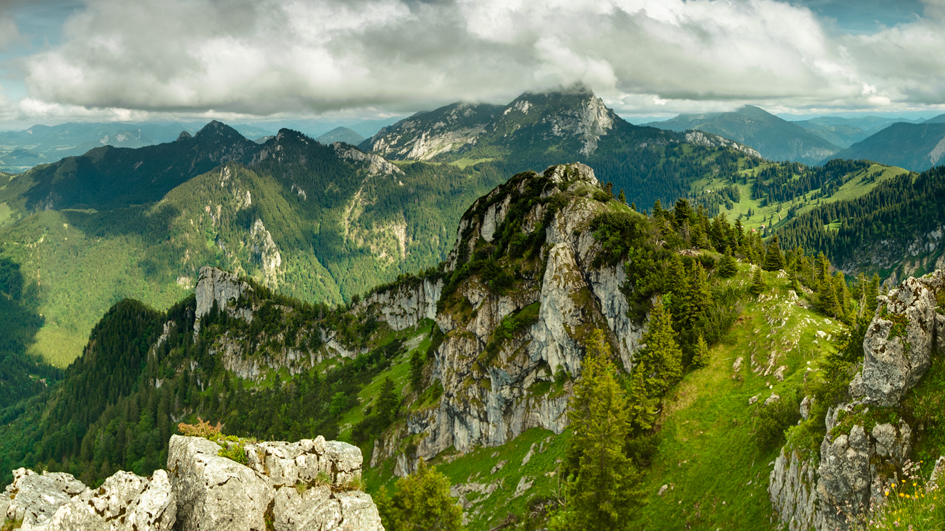
Google Goes Vertical in Street View Update
When Google’s not algorithmically exploiting the web’s intelligence via search, they’re busy digitally cataloging the least trekked places on earth. In the latest update to Google Maps’ most prized feature, Mountain View has pointed their vast resources toward higher latitudes, making available in glorious zoomed detail the heights of Everest, Kilimanjaro and other formidable mountain peaks around the globe. The new Street View panoramas are navigable over the web, as well as on Android and iOS.
As detailed over at the Lat Long blog yesterday, the latest frontier to receive the Google treatment was part of a multi-year effort. The expedition broke ground in 2011 when Sara Pelosi, a People Programs Manager for Google, planned some time off with fellow Googlers to tackle Everest Base Camp, a ridge understandably absent from the Street View corpus. With a bit of prodding, the team seized the opportunity to preserve glimpses of the experience while at the same time expanding the reaches of Google Maps. Capturing the necessary imagery would require little additional gear besides a digital camera and folding tripod.
The team encountered the usual travails as they ascended to an elevation of 18,192 feet (“higher than anywhere in the contiguous U.S.”), including an earthquake, mudslide, snow storm and the inevitable altitude sickness.
You can click around the Everest Base Camp South in full 360 degree detail below.
View Larger Map
For Google, Everest was just the beginning. A full collection of the mountain zeniths made Street View-compatible, which includes the Aconcagua of South America and Kilimanjaro of Africa, can be found here.
This latest assortment adds to an already remarkable service. Earlier this year, Google released its panoramic coverage of the Grand Canyon. For this expedition Google employed its proprietary Trekker camera technology, which runs entirely on Android. The system consists of a backpack-mounted unit fitted with 15 separate lenses, enabling crew teams to snap hands-free images while they trudge through shallow rivers and scale the steep terrain. The whole unit adds about 40 pounds to your climbing weight and snaps photos at 2.5 second intervals.
With this innovative technology, the teams were able to procure more than 9,500 panoramic views, including coverage of the Meteor Crater to the north. This majestic Arizonian landscape can be navigated in all its glory below.
And just last year, Google sent oceanfarers to plumb the stygian depths of six of the world’s most spectacular underwater spots, from the coral reefs in Australia to the Philippines and Hawaii, all to satisfy our collective curiosity. The Heron Island Resort abutting the Great Barrier Reef in Australia is particularly magnificent (embedded below).
With each passing year the phenoms at Mountain View chart more and more of our planet in exquisite detail, expanding our horizons while simultaneously aggravating the travel itch for millions of people. If you happen to be planning a getaway, Street View would be a good place to start. And be sure to check out Google’s full database of Street View collections.
Source: Explore Everest, Kilimanjaro and more with Google Maps
Feature image: “View from Breitenstein” by EMK


Comments